


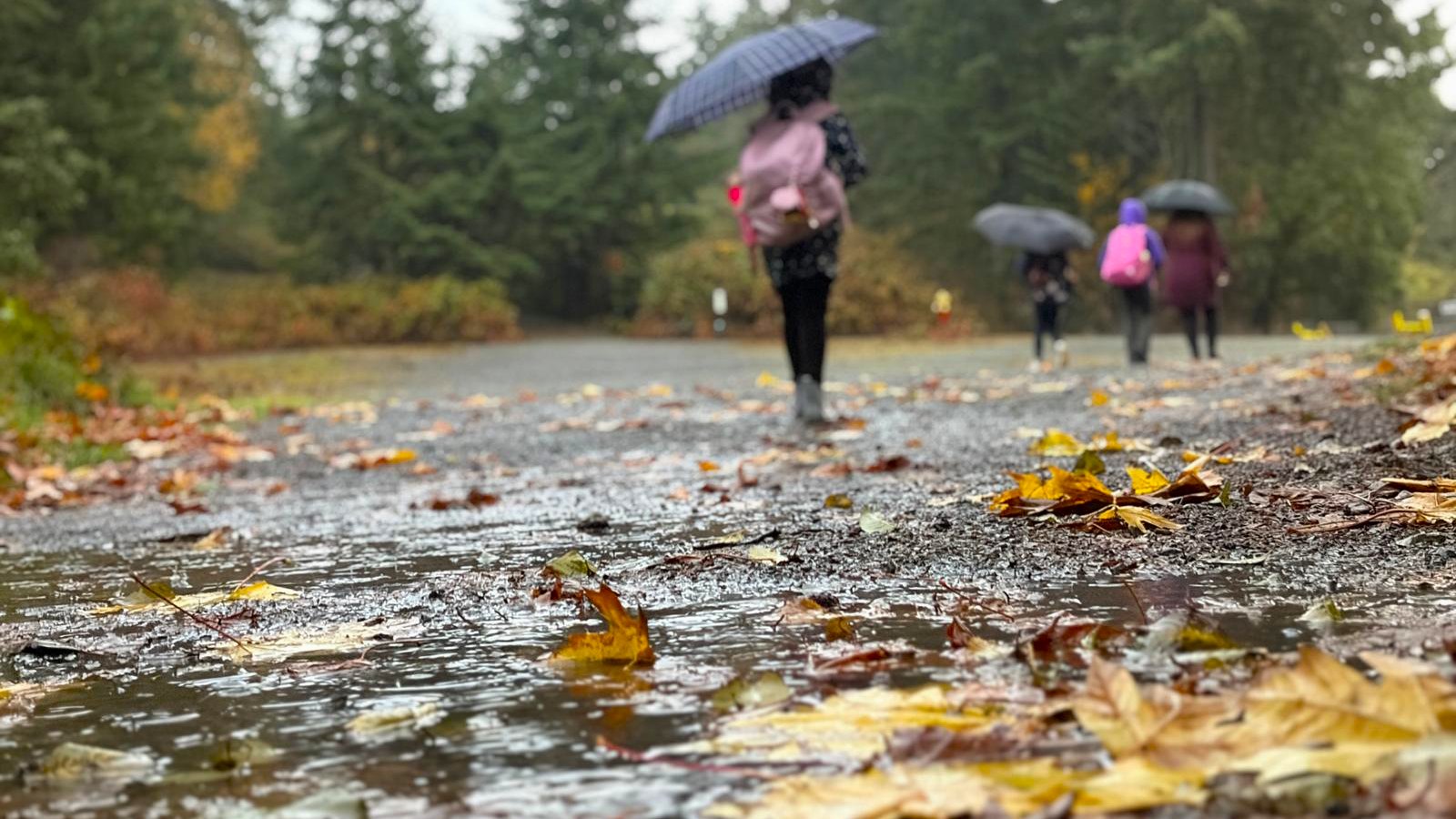
NANAIMO — A lot can change in a short amount of time when it comes to mid-Island weather.
About two weeks ago, Nanaimo was on pace for one of the driest Octobers on record with only 7.6 millimetres of rain, but a late-month deluge of rain helped put us back on track.
Meteorologist with Environment and Climate Change Canada Steve Boily said the skies opened up after Oct. 21 to get us back to our average amount for the month.
“Nanaimo, we got 114.8 millimetres, estimated (total). So in the last 10 days, we got 100 millimetres, and the normal is 102….mostly on October 24 and the 28th, and we got almost 39 millimetres on the 29th.”
He said Nanaimo’s mean temperature for the month was 10.6 degrees Celsius, a bit higher than the regular average of 9.9 degrees.
It was a similar story in the Comox/Campbell River area, who were also on track for one of their driest Octobers on record before the late-month storm made landfall.
Comox received 143.3 millimetres of rain, 114 per cent of their normal total precipitation, while Campbell River managed to get 70 per cent of their regular rainfall with 124.8 millimetres.
Temperature-wise, Comox saw a mean temperature last month of 10.4 degrees, compared to the normal mean of 9.6 degrees, while Campbell River hit a mean temperature of 9.1 degrees in October, a touch above their normal average of 8.7 degrees.
Boily said a cold front is expected to hit Vancouver Island on Wednesday, Nov. 4, sometime in the evening, with rain expected to continue into the weekend.
“The showers are probably more over the higher terrain to the west, but five more millimetres of rain should occur Thursday, and then Thursday evening more showers, more rain overnight. Probably another five millimetres, ending Friday morning, and then Friday night into Saturday, another five to 10. That will probably be the wettest event for this week, and then we could expect also some wind with this one on Friday night.”
He said temperatures are expected to be above average for the next few weeks, bringing average, or a bit above average levels of rain with it.
Follow us on Facebook. Join Everything Nanaimo on Facebook and stay connected with everything happening on central Vancouver Island.
Follow us on: Twitter (X) | Bluesky | Facebook