


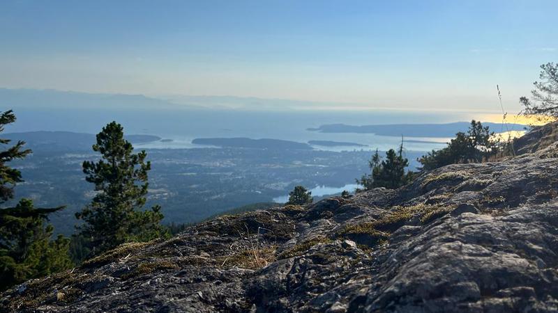
NANAIMO — Unless some fall storms materialize soon, this month is shaping up to be one of the driest in the city’s history.
Nanaimo normally sees around 102 millimetres of rain in October, but repeated sunny days have resulted in minimal precipitation thus far, with only 7.6 millimetres falling, or 7.4 per cent of our average as of Tuesday, Oct. 20.
Meteorologist with Environment and Climate Change Canada Janelle Gergely said Nanaimo is not alone, with other parts of southern and eastern Vancouver Island only seeing around 10-12 per cent of their average rainfall so far.
“It’s not necessarily attributed to El Niño, though. There’s been this ridge of high pressure over the Pacific that’s kind of put up a blocking pattern and pushed the fall storms north towards Alaska and the Yukon instead of southern British Columbia.”
The driest October on record in Nanaimo was in 1987 during a strong El Niño pattern, with only 14.4 millimetres of rain.
Other records of note include 1952, when only 18.3 millimetres fell during a weak El Niño.
Weather experts have been predicting a “potentially historic El Niño” this year will prolong the warmer, drier weather and delay the start of winter.
“Late fall into December is really when we’ll start seeing the peak of the effects (of El Niño),” Gergely said. “I would say probably December is when you’ll start to really notice that it feels unseasonably warm. As for precipitation, it does look like there’s a shift in the weather pattern as early as Thursday, and we get into more of an unsettled pattern, and then we might see some more precipitation. But looking as far as 10 days, I don’t see any significant systems on their way.”
The normal daily temperature for the month is around 9.9 degrees, with October 2022 the second warmest on record at 12.3 degrees, only 0.3 degrees shy of the 1936 record.
She said the likely warmer-than-average temperatures during the winter months will likely result in more rain than snow when the precipitation does come.
Snow is still likely at higher elevations, but there’s a good chance Nanaimo will go see its second winter in a row without a significant snow event.
Follow us on Facebook. Join Everything Nanaimo on Facebook and stay connected with everything happening on central Vancouver Island.
Follow us on: Twitter (X) | Bluesky | Facebook